KOTOR, MONTENEGRO, MAY 4, 2023
Our trip through the Adriatic Sea reminded me how different the political configuration of this region was when I was growing up. As a school girl I started my career as a committed procrastinator by studying the atlas rather than doing my homework. That led to poor marks in French irregular verbs for which I still pay a steep price, but it made me a champion in Stadt-Land-Fluß [city-country-river], a game I loved to play with my friends. The only country I ever knew along the Dalmatian coast, was called Yugoslavia [jug = south, slavija = of the Slavs: land of the southern Slavs]. We would’ve spelled it Jugoslawien, though. For us it was always simply “Tito’s Yugoslavia”, because that’s what the adults around us called it. I didn’t know that it was first a kingdom, and then a federal republic composed of six constituent republics, Slovenia, Serbia, Bosnia & Herzegovina, Croatia, Macedonia, and Montenegro – where we’re going today. There were also two autonomous provinces, Vojvodina and Kosovo, which we already mentioned briefly when we discussed Albania during our stay in Sarandë.
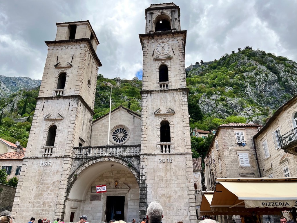
Our port of call in Montenegro, the Black Mountain country, was a town called Kotor in the Bay of Kotor, or Boka Kotorska, just off the Adriatic coast. The naval port of Kotor has been around quite a while and has played a significant role for innumerous masters in the Adriatic Sea. It was recorded in 168 BCE as Ascruvium in the Roman Province of Dalmatia. For the next millennium and a half there was a lot of coming and going up and down that Dalmatian coast until one main player established its superiority, the Republic of Venice. Once their suzerainty was acknowledged in 1420, the Venetians kept Kotor, they called it Cattaro, in the Venetian Albania Province for the next 380 years.
There have been fortifications in the mountains surrounding Kotor since the indigenous Illyrians ruled the roost. The Byzantine emperor Justinian II improved their mountain bastion in the 6th century CE, but it was the Venetians who really went to town with defensive infrastructure improvements and a building boom in Venetian Renaissance style. They built the San Giovanni fortress in an effort to repel the Ottomans, among others. This BLOG post has a terrific description of a hike up the 1350 stone steps to mount Sveti Ivan, Saint John, and the Venetian fortification. Before we explore the town, however, let’s have a look at the scenic route we sailed early in the morning to reach Kotor.
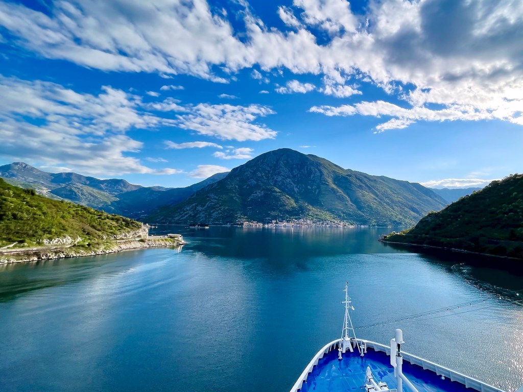
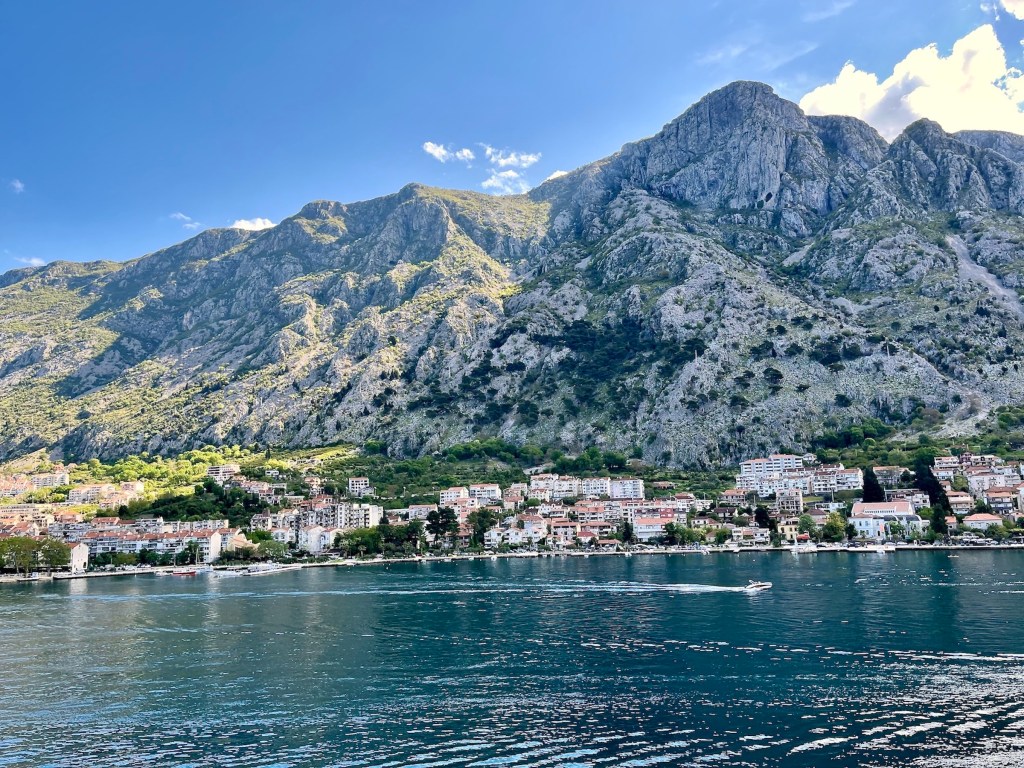
At 07h00, when I took my look-out position forward on the top deck, we had already left the Adriatic Sea proper and were sailing through Ḫercegnovski zaljev, called Topla Bay on English maps. In my first picture below, we are looking back toward Mount Orjen near the boarder to Bosnia-Herzegovina, and the coastal town of Herceg-Novi, as we were passing through the Kumbur Channel.

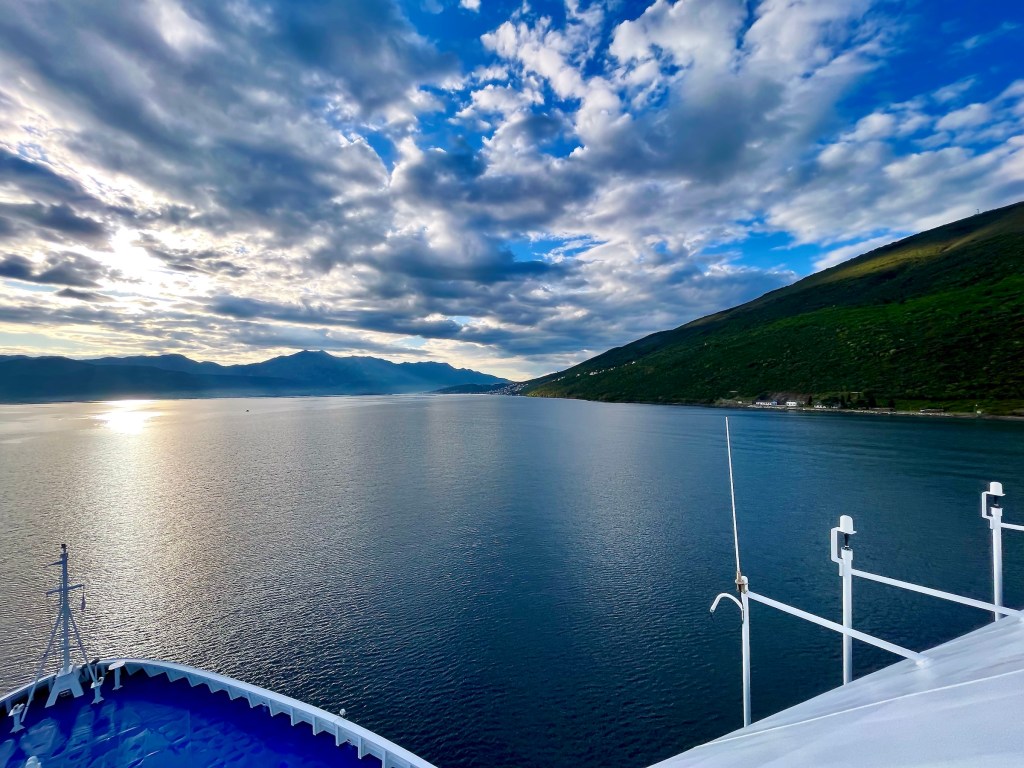
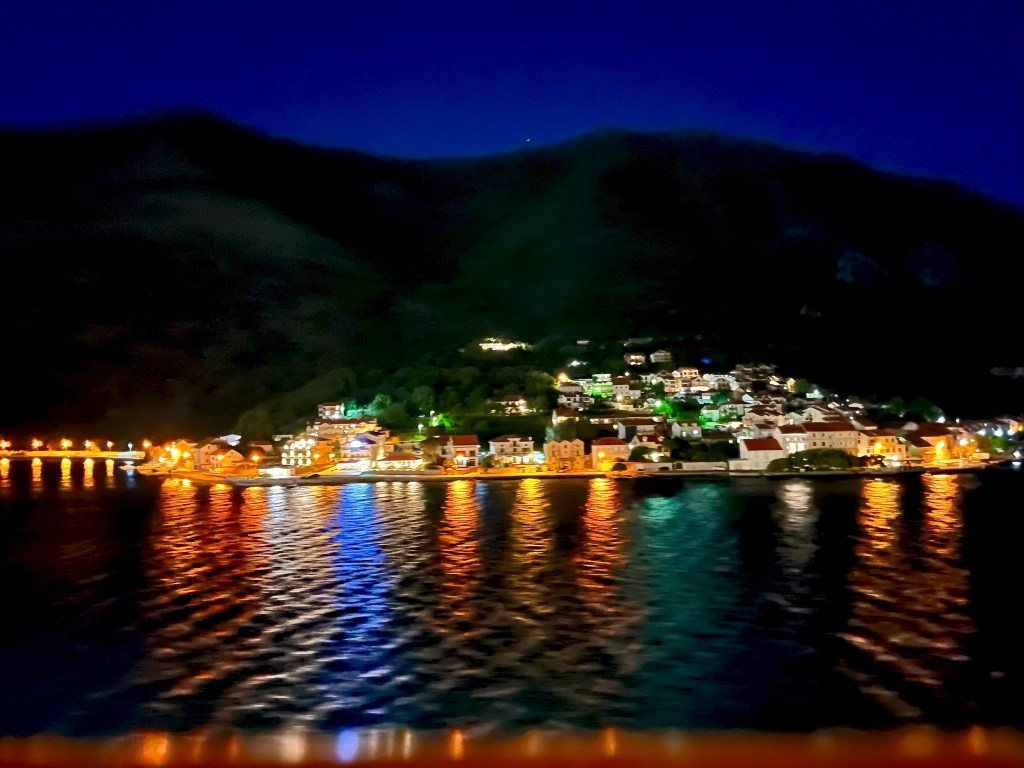
We were crossing Tivat Bay first in an easterly direction, sailing against the rising sun, then turning slightly to the North, sliding quietly past sleeping towns.


At 07h20 a sailor joint us on the top deck. He uncovered an instrument panel and began reading out degrees, minutes, and seconds for the officers on the bridge. In anticipation of our passage through the narrow Verge Channel into the Bay of Kotor, a precise positioning of the ship was essential.
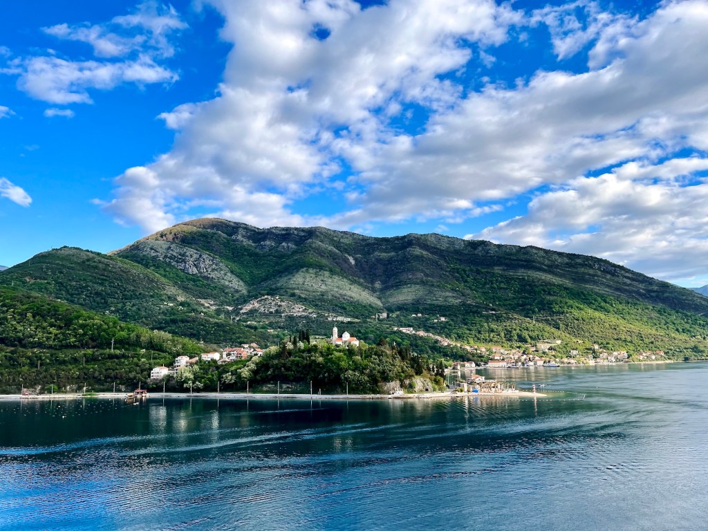
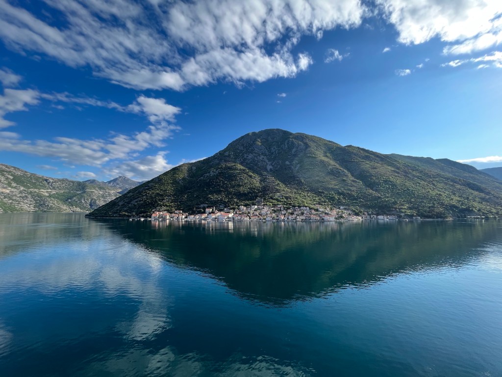
In the background we see a portion of the town of Tivat. Also, if you’d climb over the mountain peak just where the first lightbulb dangles on the left, you could hike straight into Kotor. The Silver Moon, on the other hand, had to follow the contours of the ancient ria that created Boka Kotorska.


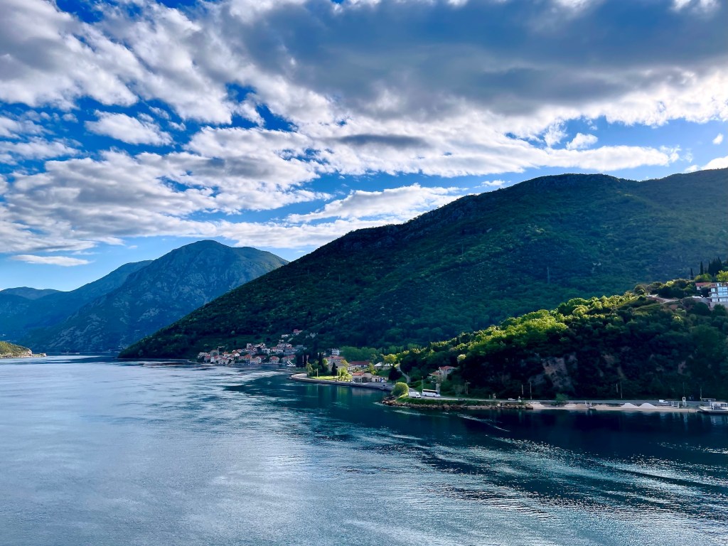


As we turned to starboard to advance toward Kotor, we look back past the two Perast islets of Our Lady of the Rocks and St. Georg into the wide mouth of Risan Bay.
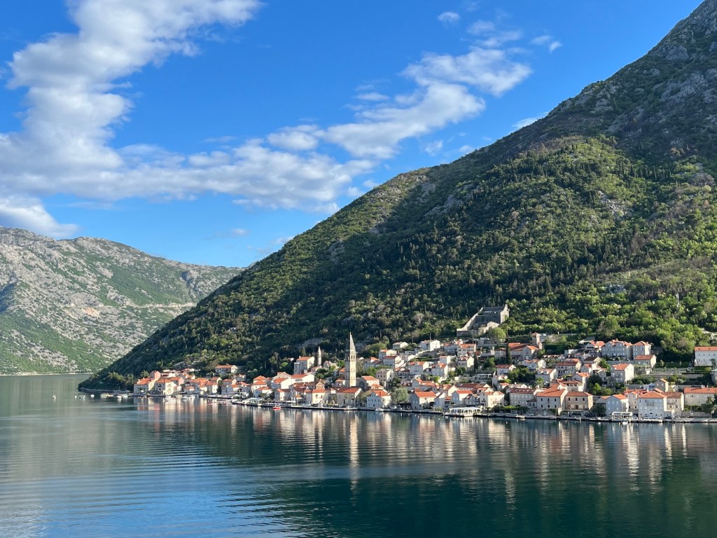
By 07h47 we had passed Perast …
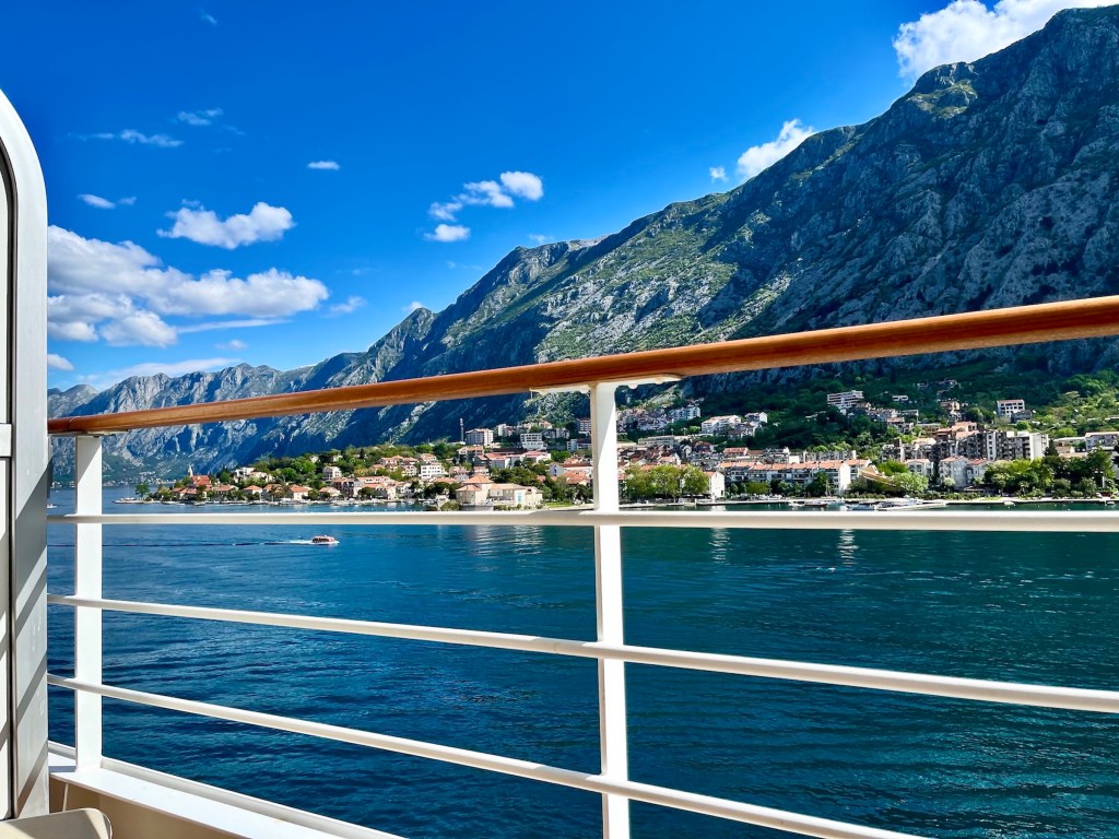

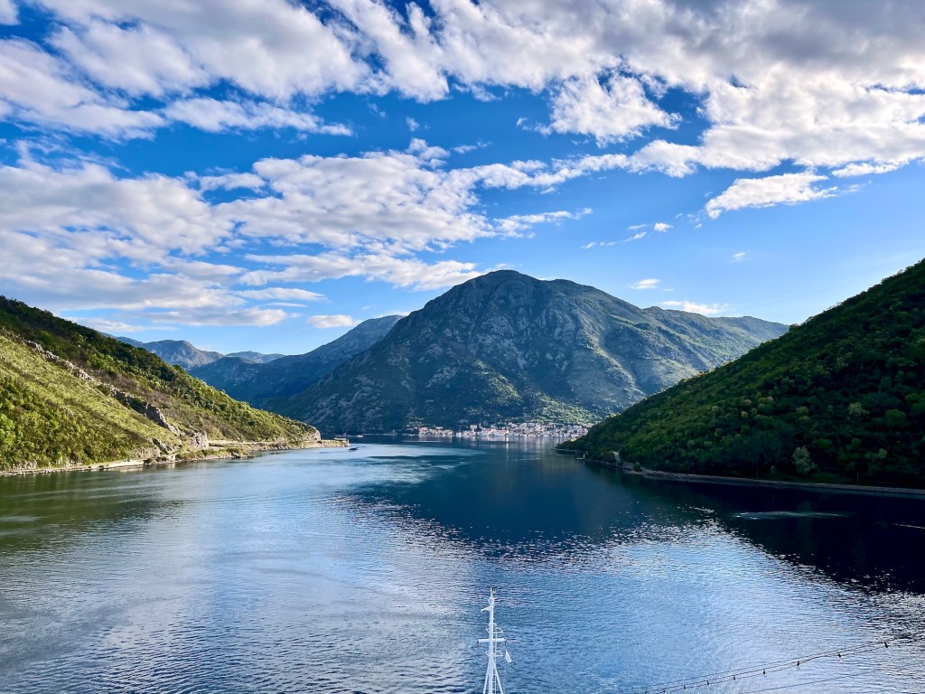
… and an hour later we were at anchor off Kotor, ready to tender into town.
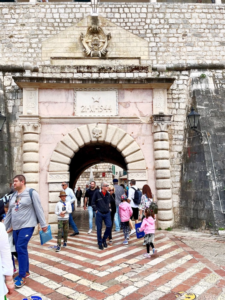
The vrata od mora [Croatian: door from the sea] is the main entrance to the stari grad [Croatian: stari = old one; grad = town] Old Town of Kotor. The Sea Gate was built in the 16th century, but its ornamentation is much younger. On top is a carving of the coat of arms of the Socialist Federal Republic of Yugoslavia (SFRY) with the date of 29-XI-1943. This was the day on which the underground parliament of the Axis occupied Kingdom of Yugoslavia announced the establishment of the Democratic Federal Yugoslavia (DFY). The DFY was recognised by the Allies as the legitimate government of Yugoslavia under the leadership of Josip ‘Tito’ Broz. Underneath the crest one can (barely) see a quote by Tito:”Tuđe nećemo svoje ne damo”. Google says that means “we will not give ours to others”. In a wiki file I found a much more elegant interpretation of Tito’s words by someone called Terrillja, “What belongs to others we don’t want, ours we don’t give”. Lastly, the date above the arch, 21-XI-1944, refers to the day Kotor was liberated from Axis occupation.


* I came across a drawing of the Pima Palace online. The drawing was by the British artist and traveller Frederick Hamilton Jackson (1848-1923) from his book ‘The Shores of the Adriatic, the Austrian Side’. It appears that there was a naval academy housed at the Pima’s when Mr. Jackson was visiting Cattaro aka Kotor. ‘Palace’ by the way, doesn’t mean palace as in Versailles or Buckingham in the formerly Venetian town of Cattaro. In Venice, it’s a term for a big, multi-storied family home.


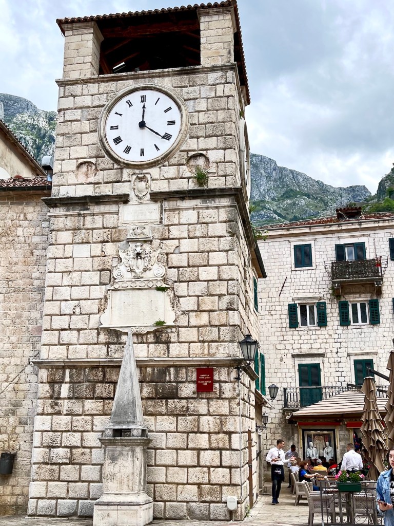
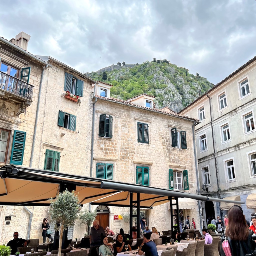
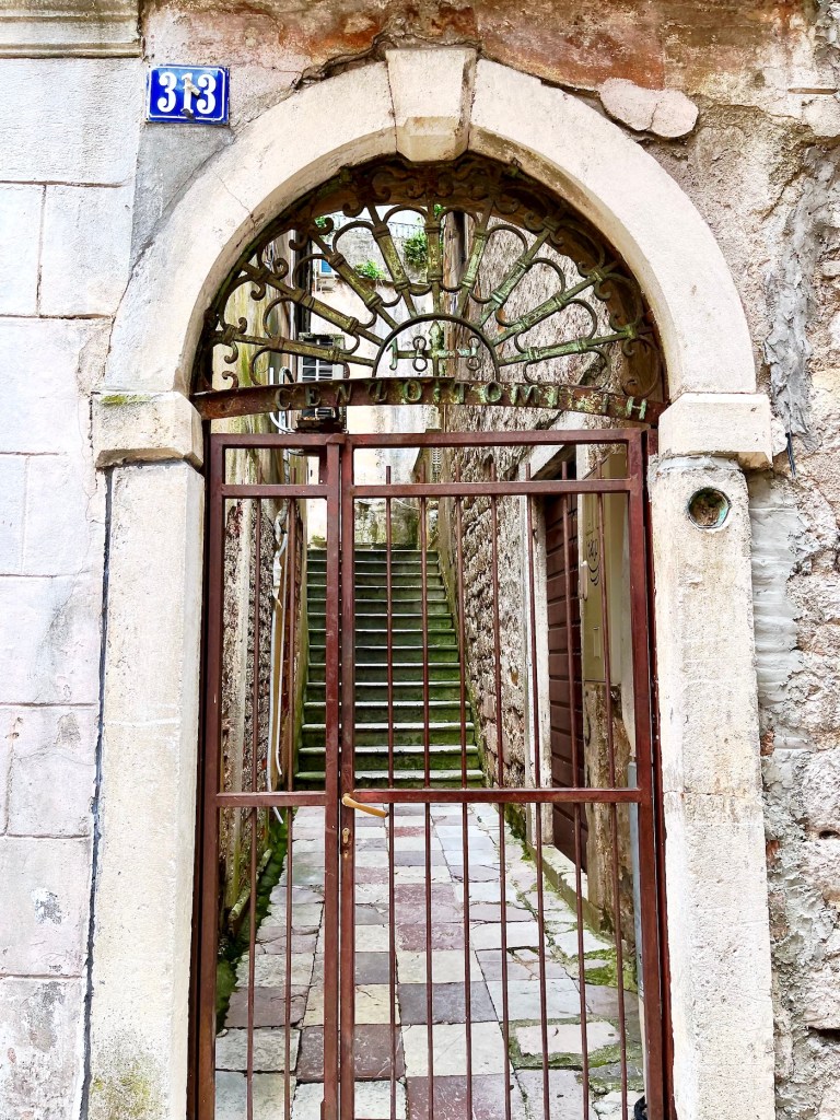
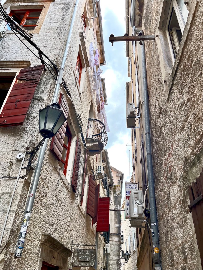
Old Town Kotor is a warren of steep lanes, most with stone steps, leading into neighbourhoods within the rocky hills surrounding the town.


From our own balcony I took these fairly fuzzy frames, trying to show the fortifications guarding Old Town. Sadly, that didn’t work out too well. However, I had downloaded Mr. Jackson’s book through the free ebooks of Project Gutenberg, and on page 687 I read …


“The Montenegrin road climbs the mountain with no less than sixty-six zigzags.” I believe, if you look really, really closely at the zoom picture above, you might be able detect some faint zigzagging working its way uphill near the left hand edge.
By 22h30 we were ready to return to the Adriatic Sea for the short trip to Dubrovnik, Croatia.
Before I close, just in case you’re interested, I’d like to leave a link to this significant naval event that happened right here, in the Boka Kotorska during the closing days of the WW I and following the Bolshevik Revolution in Petrograd.
