Part Six: 4th Port of Call, Skjolden, Vestland, Norway
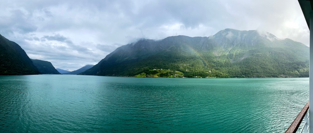

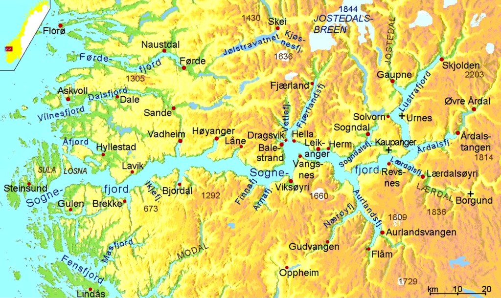
As we awoke on August 1st, 2022, we were just arriving at the very end of the longest and deepest of Norway’s fjords, Sognefjord. The village of Skjolden [pronounced Sholden] marks the endpoint of Lustrafjorden, the last branch of the Sognefjord, which extends from the North Sea deep into continental Europe’s highest mountain range called Jotunheimen, the home of Jotnene, the fabled giants of Nordic Lore.
After breakfast I climbed to deck 10 of the Silver Whisper, to have a look forward toward Skjolden. Okay, so I took the elevator.

We had chosen to participate in a bus tour called “scenic Skjolden” without having the faintest idea what the tour entailed. It turned out to be a trip way up into these immense mountains that surround the village, motoring between glaciers, icy lakes, and a weird rock monument.


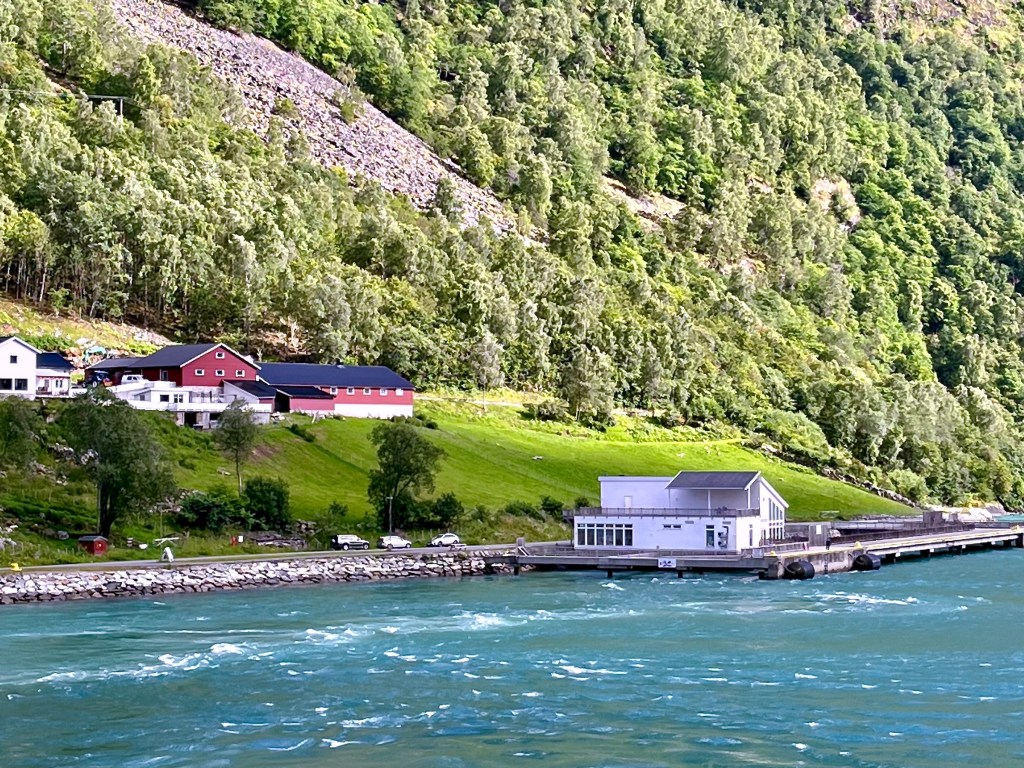
We disembarked at Skjolden’s cozy cruise pier and entered the country proper through the Custom shed, to board the bus that would take us into the wilds of Norway.
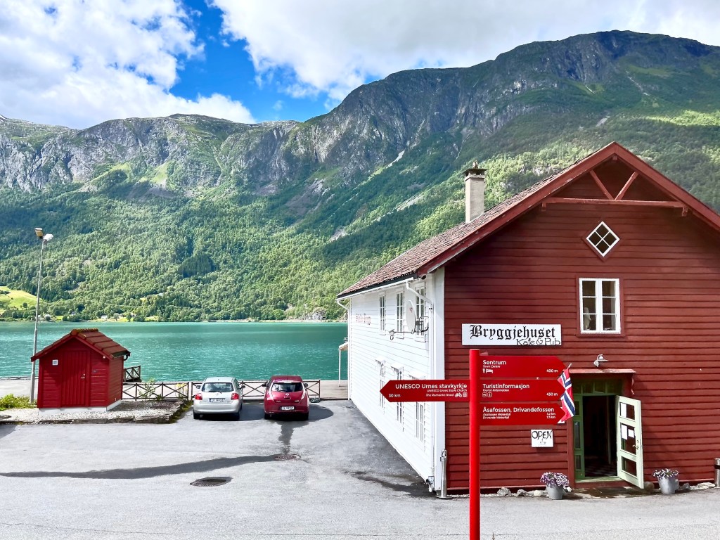
The trip began benignly enough along the Sørsidevegen, the road on the south side [of the fjord] leading into the village past a row of holiday cottages and the Bryggjehuset, the Brewery House pub and café. The road along the fjord soon turned into county road 55 or Sognefjellsvegen [Road of the Sogne mountains], which becomes the highest mountain pass in Northern Europe – open only from May to October.


Before we advance any further with our bus tour, let’s consider a few tidbits about the Kingdom of Norway.
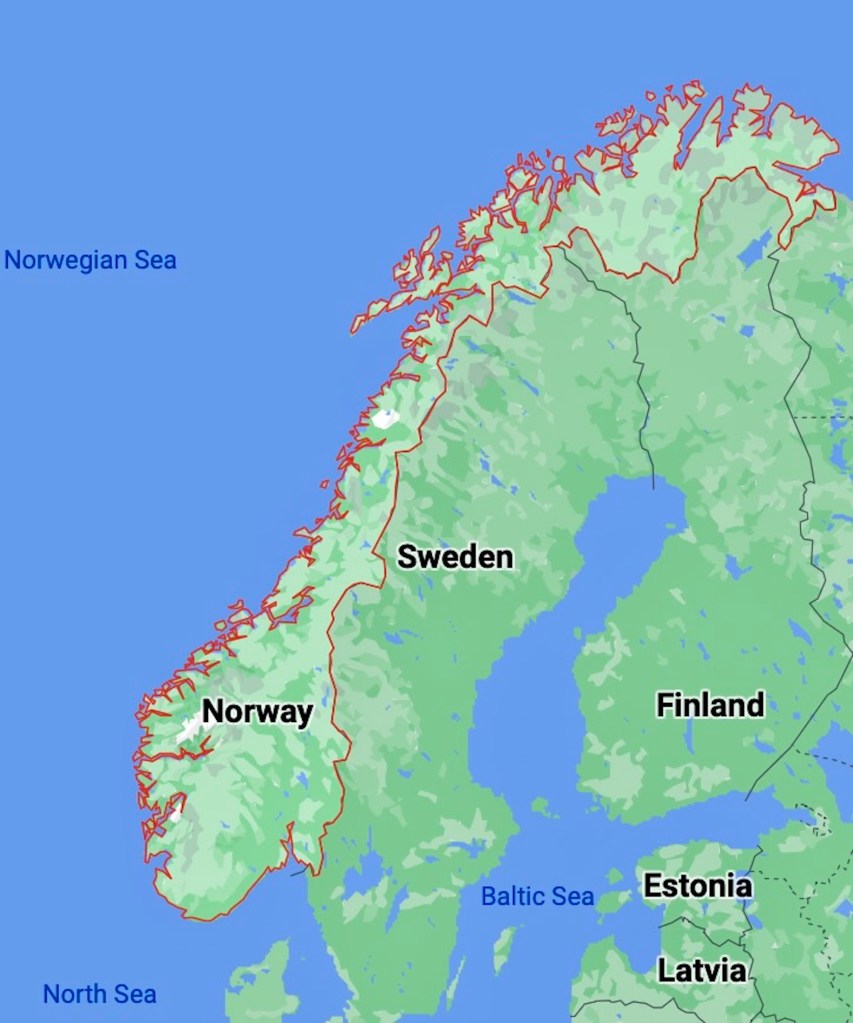
Here you see the entirety of skinny Norway, snuggling alongside Sweden, Finland, and Russia on her land boarders, while the Skagerrak to the South, the North Sea, the Norwegian Sea, and the arctic Barents Sea in the North frame Norway’s coastline. Norway is a country of contrasts, one might even say a country of extremes. Sørlandet, the southern fertile valleys contrast against the barren tundra of the far North, while the mountain ranges form a backbone supporting her near endless coastline.
The linear coastal perimeter of Norway measures about 2650 Km or 1650 miles, however, the actual coastline of the mainland alone, with its more than a thousand fjords measures over 25K Km/16K mi. Adding the coastline of islands, one can rund up that number to roughly 100 000 Km – without even including the artic Svalbard archipelago or Queen Maud Land in Antarctica. In other words, Norway’s awesome coastline is second only in length to that of Canada!
Well, considering all that water sloshing hither and yon throughout the country, it’s no surprise that Norway can boast about another ‘second only to’. The modestly sized country with around 5 mil inhabitants is only surpassed by the PR of China in fish export.

It took us thirteen hours to sail from Bergen (lower left) to Skjolden (upper right), first navigating for 72 Km or 45 miles between a multitude of coastal islands and innumerable skerries, before entering Sognefjorden. With an overall length of 205 Km/127 mi, this is the longest fjord in Norway and the second longest in the world, only surpassed by Kangertittivag aka Scoresby Sound in East Greenland. There we go, second again! As far as fjordal water depth is concerned, Norway has to accept third place, though, with a miserly 1308 m/4291 ft below sea level, behind number one, the Antarctic Skelton Inlet with a depth of nearly 2000 meters, followed by Chile’s Messier Channel with almost 1400 meters. Sognefjorden is so long, it can even be seen on my first map above showing all of Norway. It’s the red, squiggly line beginning at the Western coast and stretching nearly halfway across the country toward Sweden. The last upward hook is Lustrafjorden with our village of Skjolden right under the “N” for Norway.
I’m showing you the map above because it illustrates an important point in regard to Norway’s economy and even her culture and history. In Norway, there is very little agrarian land. All the yellow to orange areas on the map are mountain ranges. Just a little precious green can be found near fjord heads, where alluvial soil deposits have allowed farming of root vegetables through history, but the majority of fertile post-glacial soil buildup occurred along the coast and on nearby off-shore islands, favouring population growth there. One must also appreciate the fact that nearly half of Norway’s land mass lays within the artic circle and with it one tenth of her population. Yet even in the artic circle, coastal regions are blessed with relatively mild temperatures that are brought to the North with the Gulf Stream, the warm waters of the North Atlantic Current. Should the ocean currents be altered through climate change, or any other reason for that matter, it would have catastrophic consequences for Norway.
When you see on that map how quickly the land turns hostile inland from the coast, it is easier to understand why the nordic peoples had such an urge to sail across the seas to loot and conquer distant shores to sustain their families and communities. One can also well imagine the great importance of the fishing industry through time immemorial. When natural resources dwindled dangerously through overfishing and other human misbehaviour, Norwegians developed the world’s premier aquaculture technology simply because they had to.
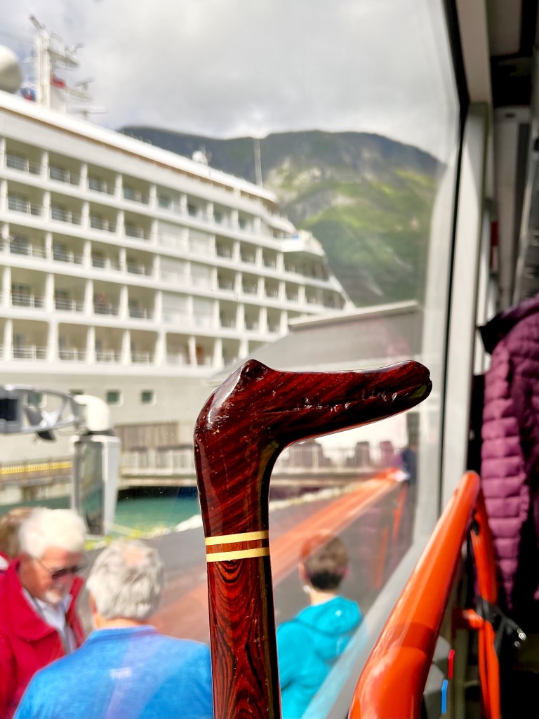
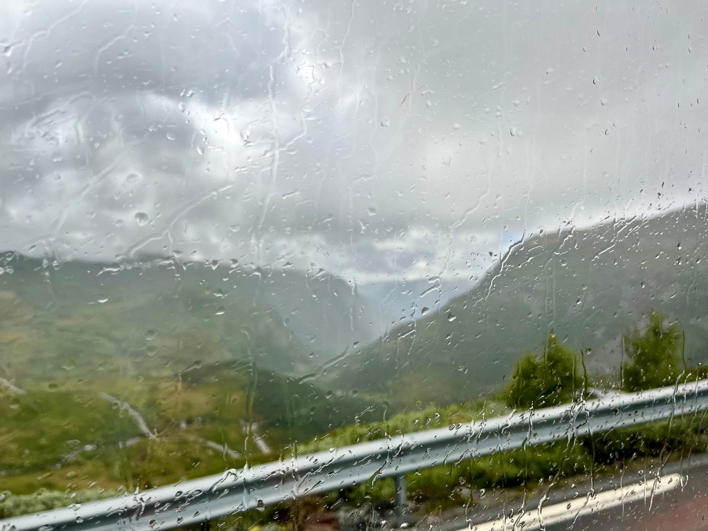
But now let’s return to Skjolden, shall we? Please keep in mind that since boarding the tour bus, I took all pictures through the one and only bus window available to me. It’s the law to be strapped in tightly in Norwegian buses, which is unfortunately not ideal for taking pics! Oh, and remember that the smaller pics are clickable to enlarge them. C’est parti !
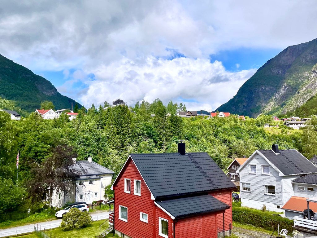
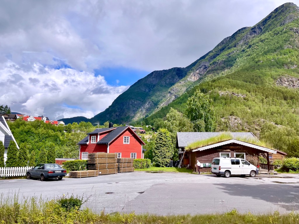
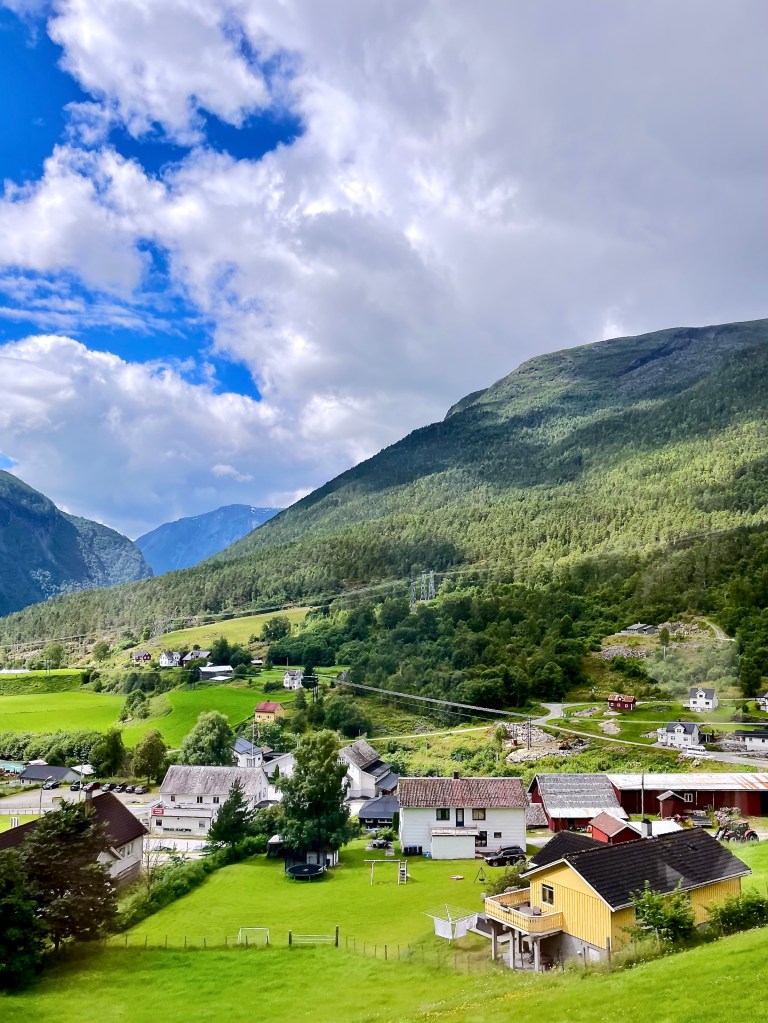
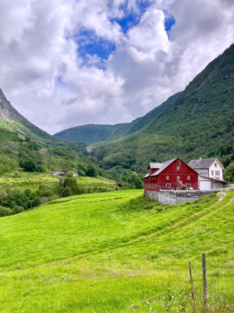
Norway is full of red or white clapboard houses and barns, in fact, my husband who grew up in Milwaukee thought it looked just like Wisconsin! Several guides told us that the red paint, consisting mostly of red ochre and cod liver oil was the least expensive color to use. White paint needed the mineral zinc that was quite expensive to purchase, so only well-to-do families could afford it. Some farmers used to paint only the seaward façade of their home white to present a smart image to the world.
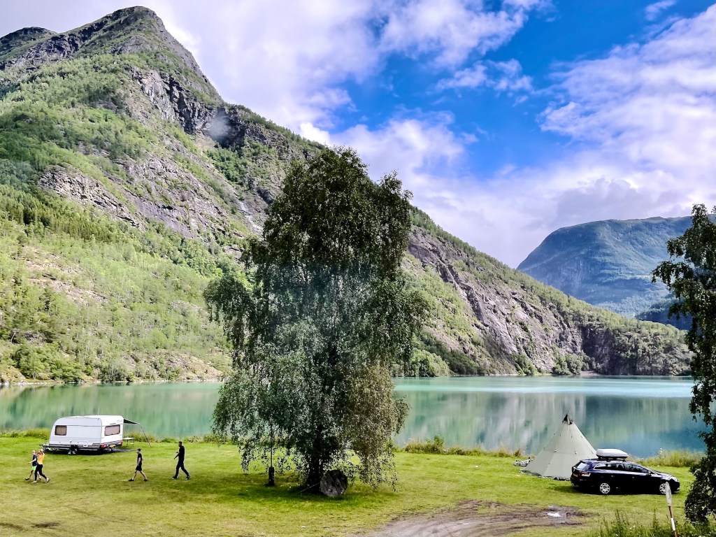
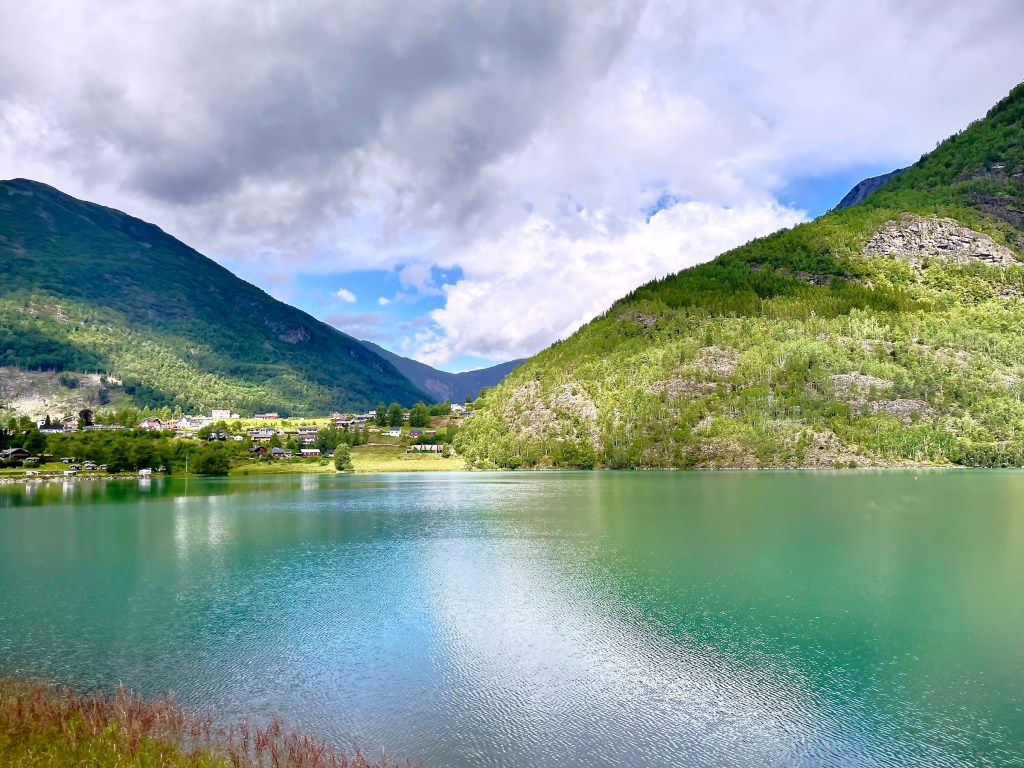
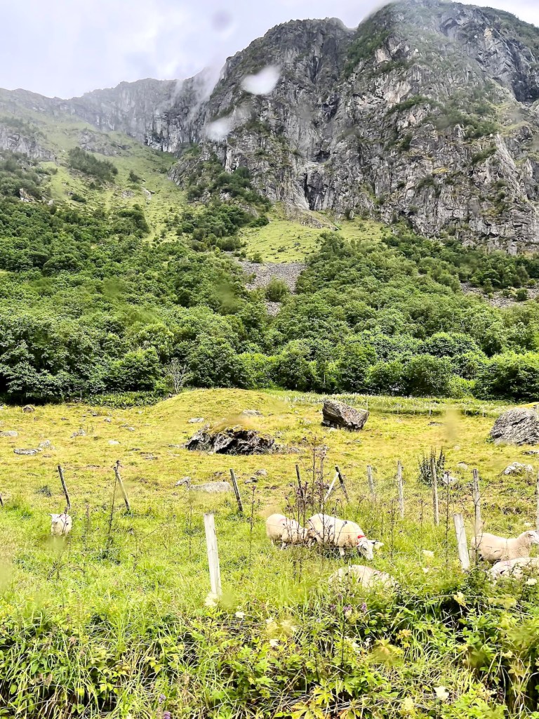
We followed county road 55 through Skjolden, pop. ~250, leaving the fjord behind and continued toward the next village, Fortun, keeping Eidsvatnet, a fresh water lake to our left.
Someone who could well afford white paint but chose no paint at all was the Austrian-British philosopher and professor of logic Ludwig Wittgenstein 1889 – 1951, a tortured genius, who spent much time thinking and writing in his tiny, wooden cabin perched on a mountainside above Eidsvatnet.
In the village of Fortun we passed Fortun kyrkje, the parish church built in 1879.

It replaced the ancient church the village had outgrown for some time. Our guide told us that the then pastor insisted on a larger church because he was fed up with the men of the community hanging out in the churchyard drinking and smoking while only the women and children actually attended services.
The former parish church was a typical Northern European stavkyrkje dating back to 1160 CE. Stave churches were wooden post and lintel constructions, the name going back to old Norse stafr for post. The clever medieval Norsemen used a curing technique to make the wood more resistant to decay. They sawed off the branches of living pines in primary forests to encourage the tree’s resin to flow upward through the tall trunks, bleeding out through the stumps of the severed branches. Thus the resin perfused the hardwood and proofed it against rot. Brutal, but enormously effective, as some of these wooden churches lasted a thousand years. I suspect this technic of waterproofing wood went much further back to the early seafaring days of our Norsemen.
Below you see the ancient Fortun stave church that had been enlarged and renovated multiple times over the centuries. When the new church was built, the parish wanted to sell their 12th century stave church to the Society for the Preservation of Ancient Norwegian Monuments, who couldn’t come up with the necessary funds, so it was completely dismantled despite some community objections. A privat collector from Bergen later bought the timber pile and rebuilt the church in his backyard. However, he erroneously modelled it after a picture of a different stave church, so it never again looked like the former Fortun stavkyrkje. Nevertheless it became a popular museum till it burned down by arson in 1992.

Continuing through Fortun, the bus executed a sharp right turn and off into the mountains we went.


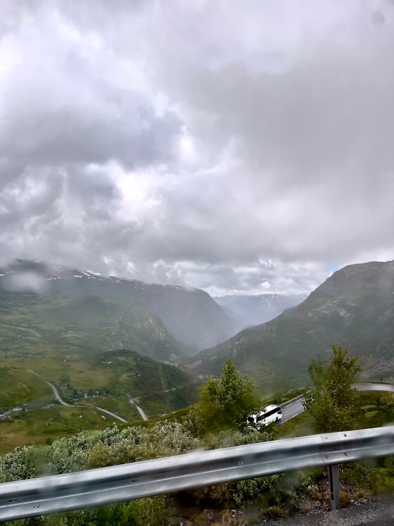
After an extended serpentine climb with an 8% gradient, we stopped at Øvre Oscarshaug rasteplass, the higher of the two picnic areas of dear Oscar, whoever he might be, for a pitstop and photo opportunity. The pitstop part took up pretty much the entire allotted time, as there were only two toilets available, one per gender. As always, the line for the woman’s WC was very long, while the guys zipped in and out of their’s, which only had a urinal, so we were truly stuck with just the one … As far as the photo opportunity was concerned, well, it rained quite a bit off and on, and one had to climb up an uneven path to get to Oscar’s viewing haug or mound. Not an option for me and crocodile stick anyway, so the time lost in line didn’t matter.
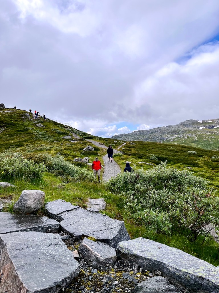
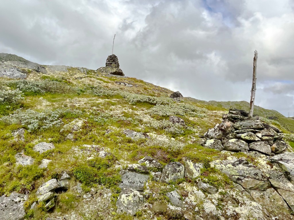


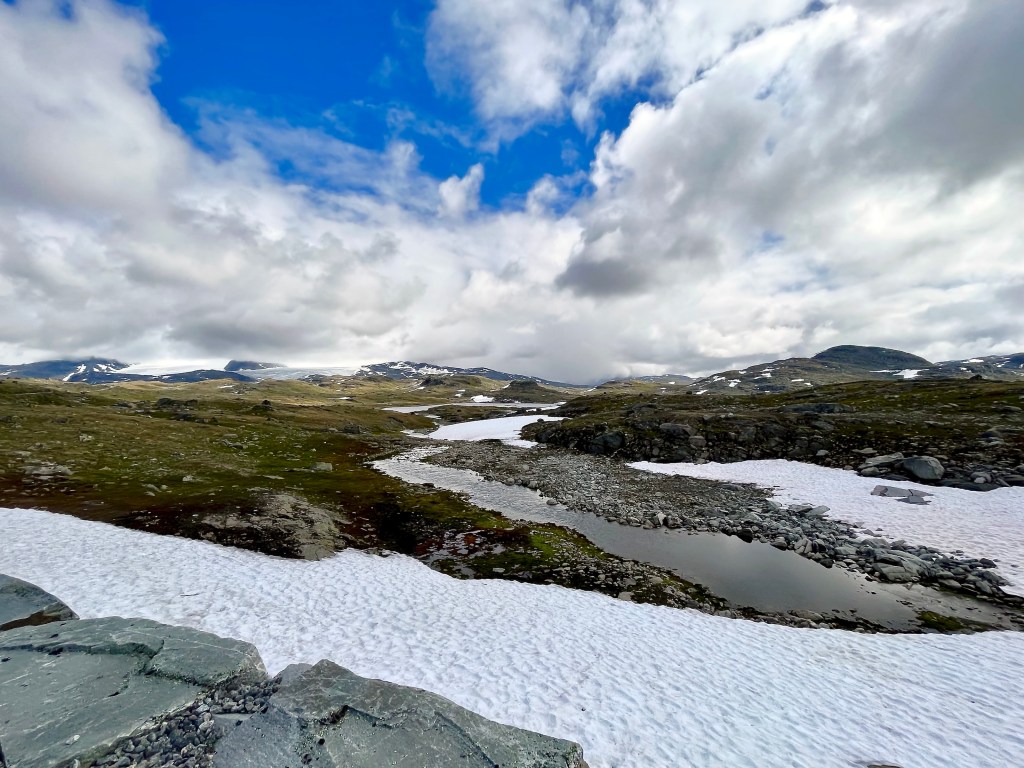
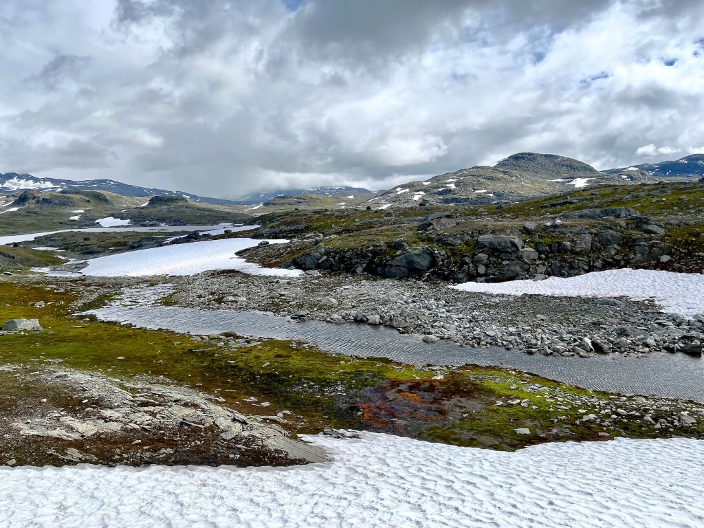
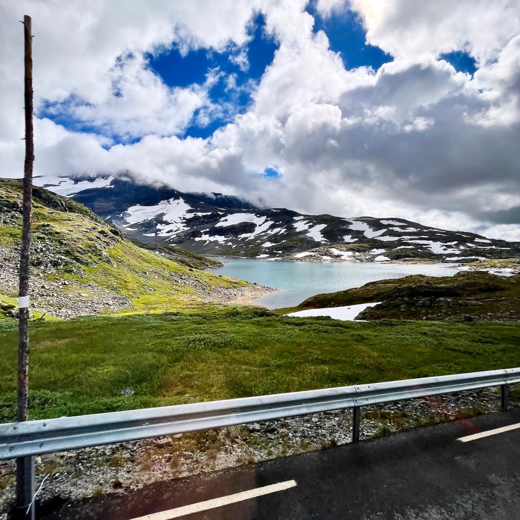
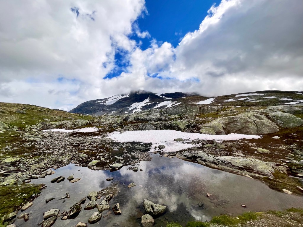
Those road marking sticks we saw everywhere were installed along every road and hiking path on the plateau. County road 55 aka Sognefjellsvegen with a peak elevation of 1430 m/4692 ft above sea level is one of Europe’s most popular National Tourist Roads for hikers, bikers, and campers. The marking sticks can be lifesavers during adverse weather, especially with accumulated snow.
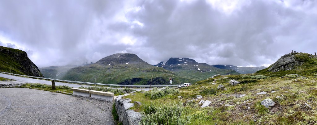
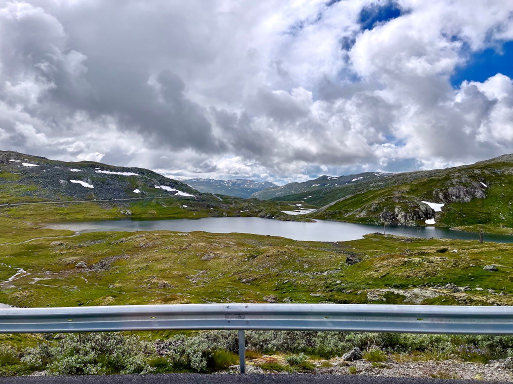
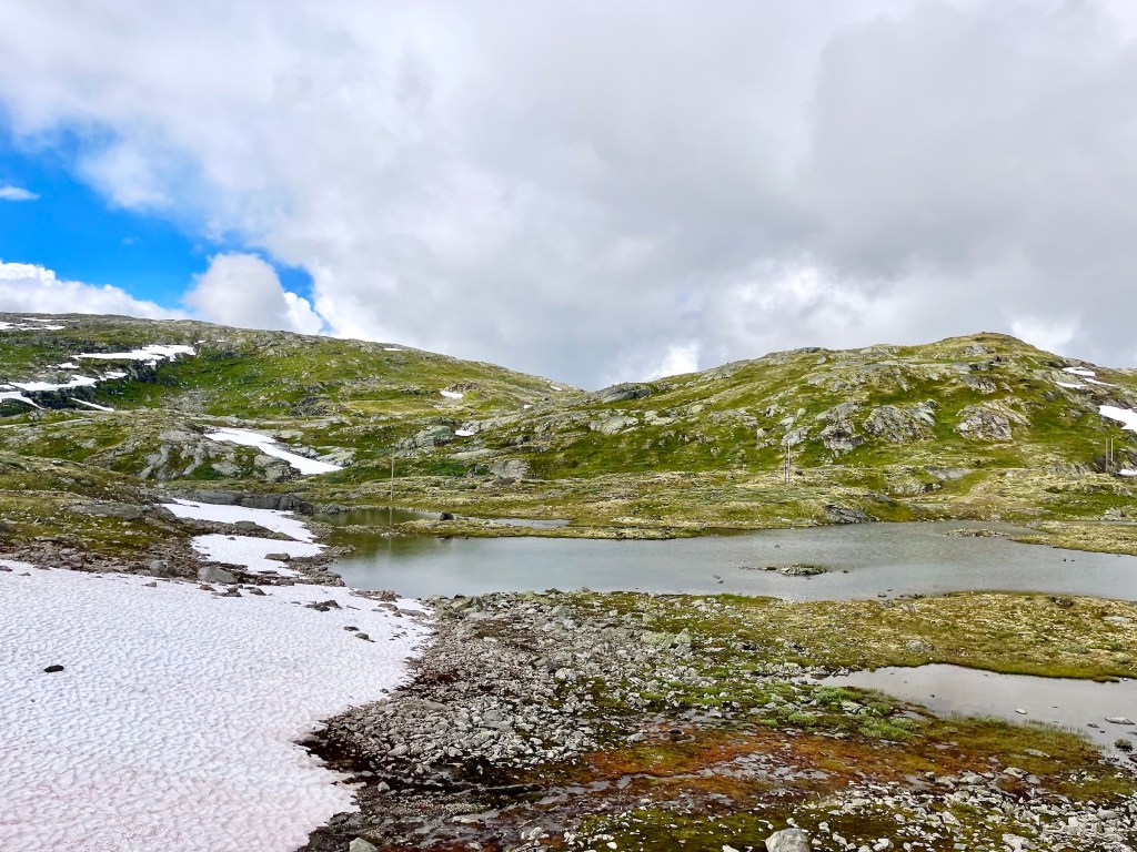
We stopped again at the Myfjell rasteplass at an elevation of 1389 m/4557 ft. This is one of the designated tourist stops along the pass, so it was quite busy there.


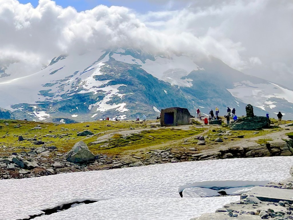
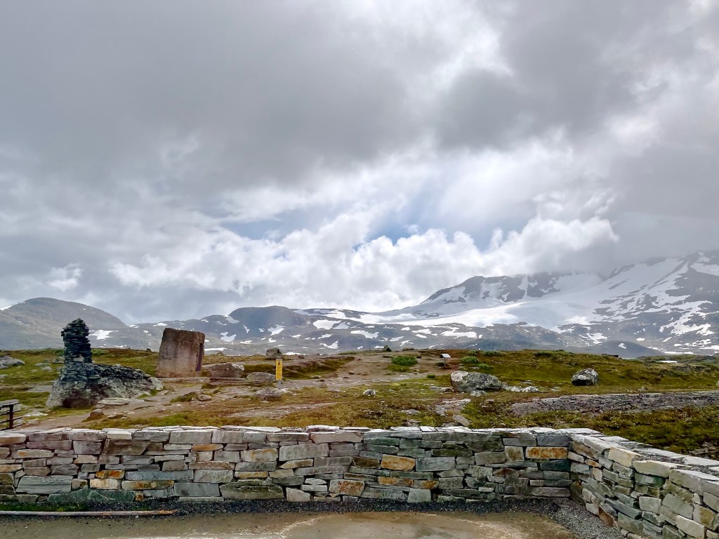
In the two pics above, taken from the moving bus and heavily zoomed, you may or may not see a hollow cubus of Larvikite with the dimensions of 300x300x285cm. It is called ‘Sognefjell’, Sogne mountain, and it was installed at the Myfjell picnic area right within the Sogne mountain range. The cube was created by Knut Wold in 1995. It’s the first work of art placed at a National Tourist Road in Norway. I don’t know if it was also the last.
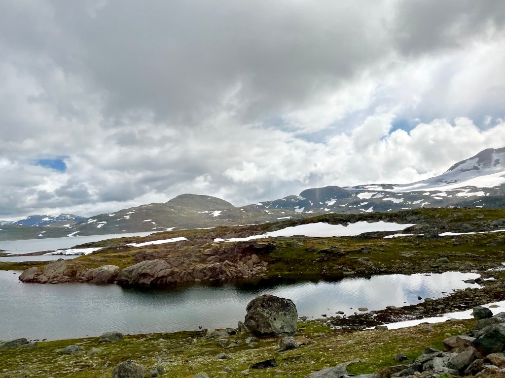
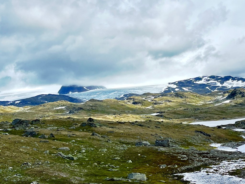
Alas, we’ve already been herded back into the bus for our return trip to the Silver Whisper. BTW, our guide casually mentioned that this plateau is a popular area for the annual autumn reindeer hunt, which commences, he said, around mid-August. It was August 1 when he told us, the middle of summer for us, but the seasons play out differently in Norway.
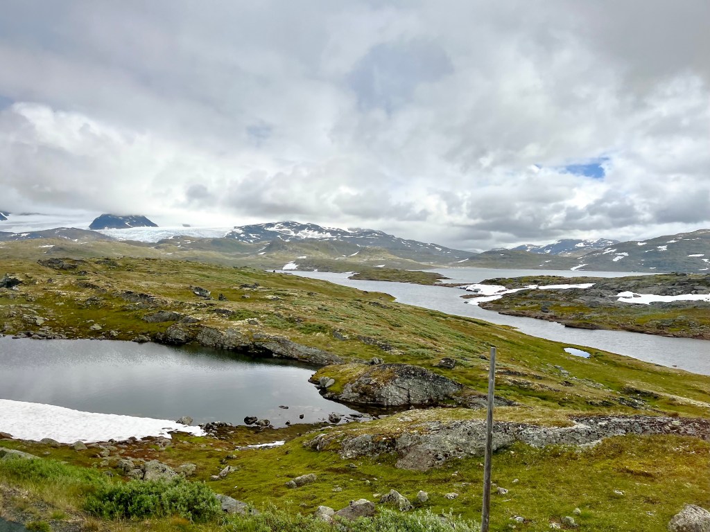
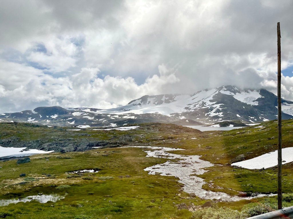

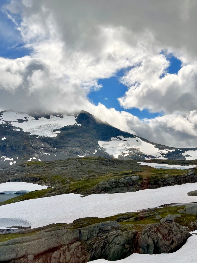
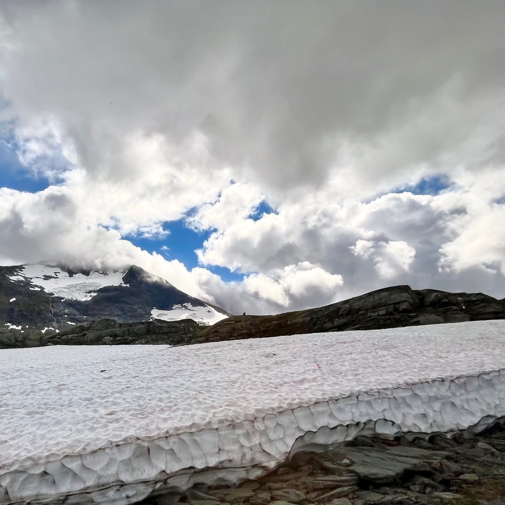


Eight versions of Fannaråkin. What can I say? When you’re held captive in a bus, you can’t choose your mountain! Anyway, it was time to say good-bye to Sognefjellet and its glaciers and descent once more toward Lustrafjorden.


At 17h00 we left Skjolden in our wake, sailing again toward the North Sea.

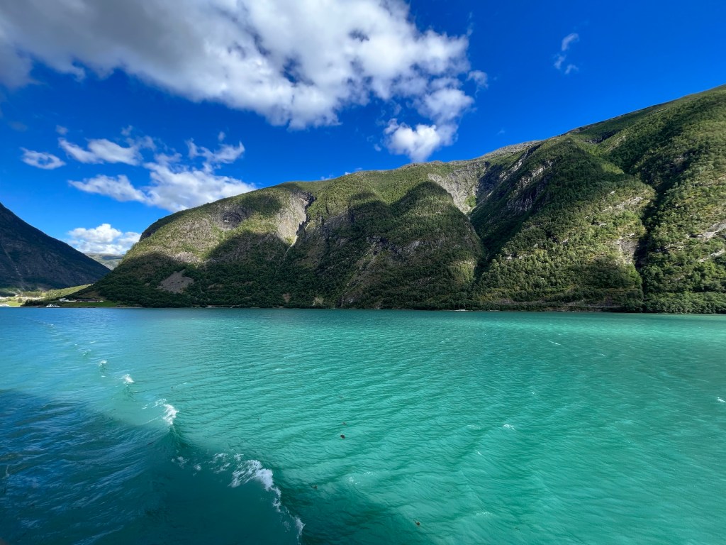
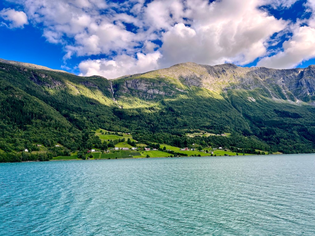
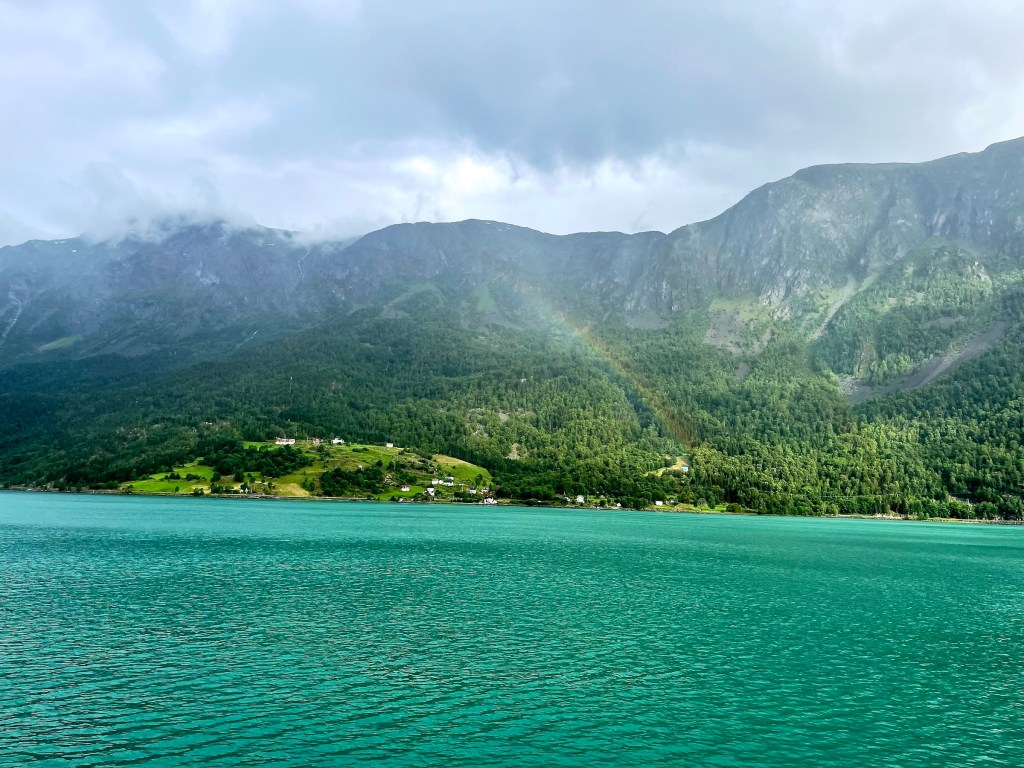
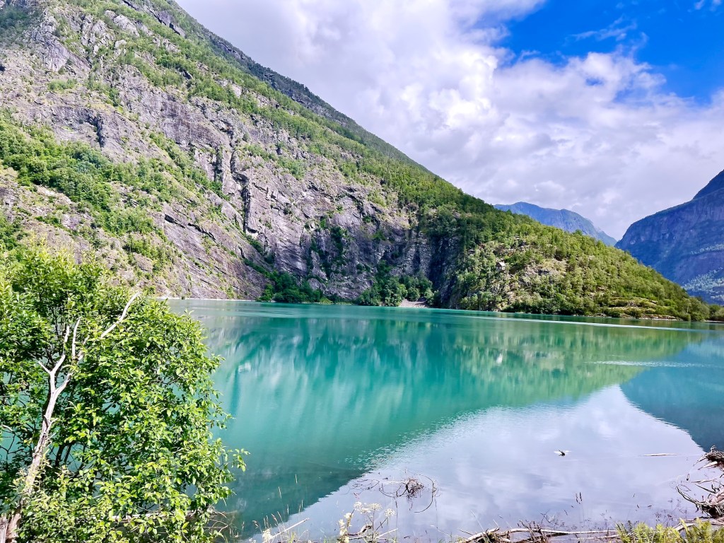
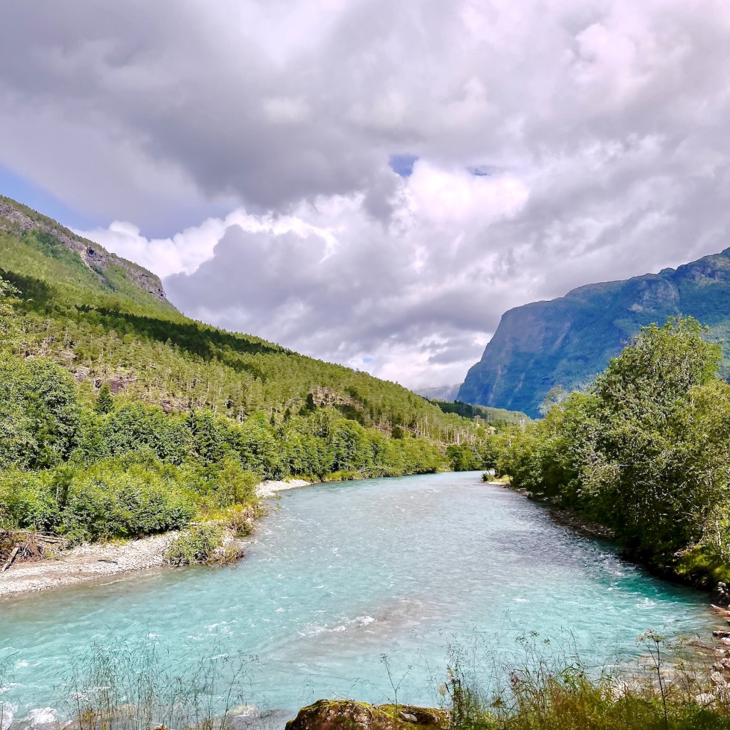
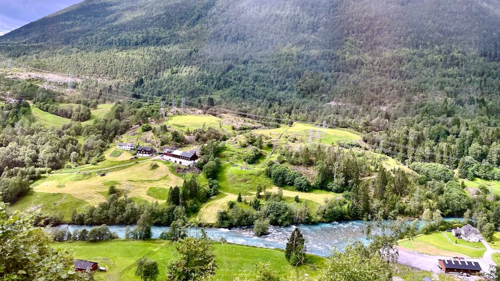
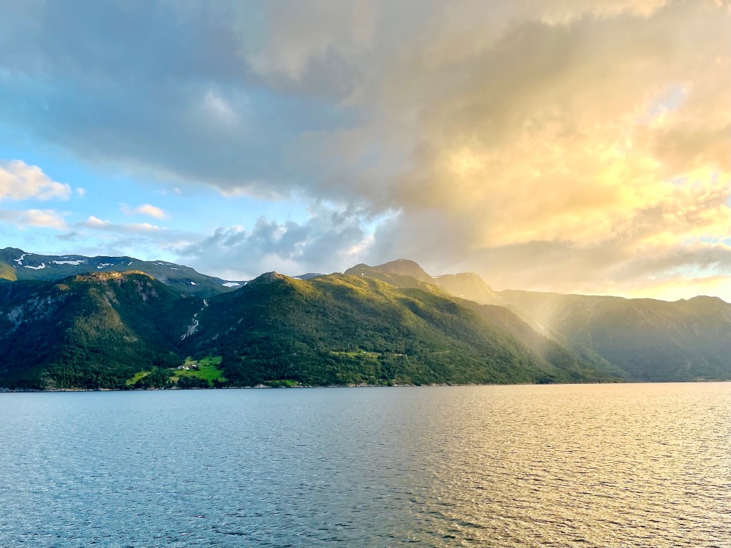
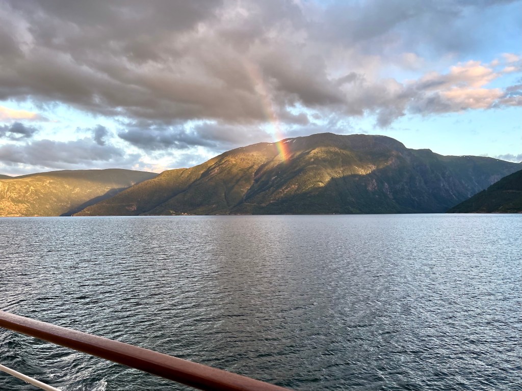
Sailing through the Lustrafjord, a picture book scene of Norway presented itself (above). Densely forested mountains capped by sheer cliffs rising high above a fjord, a waterfall spilling down into a patch of fertile land with charming farmhouses. Alternatively, we see forbidding harshness when one takes away the human habitations and the mountains rise sharply straight out of the water (below).

A few hours later, while we enjoyed a lovely dinner and I watched the passing scenery through the restaurant window, I noticed something odd ashore.


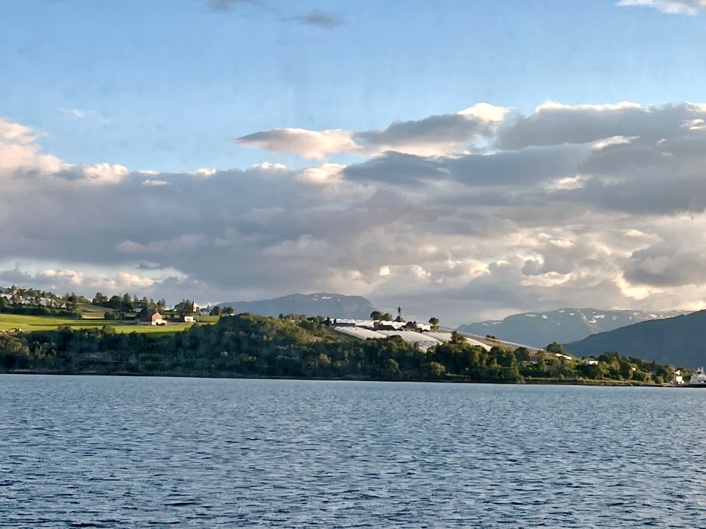
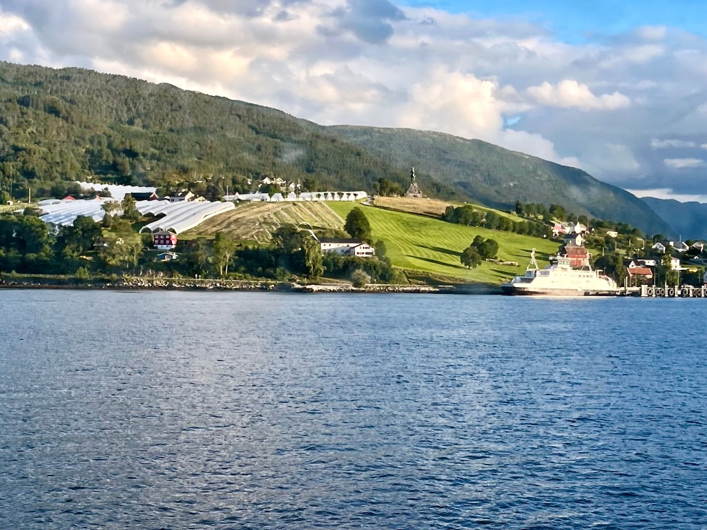
Only after identifying the location and looking at enlargements of my pictures, could I confirm that there was indeed something “sticking up” in that obviously rather agrarian village with its multitude of greenhouses. The village is called Vangsnes, it’s located on the Southern bank of Sognefjorden, roughly halfway along its length. As a settlement, it has been around for a very long time because the large, flat peninsula is one of the more fertile areas along the fjord.
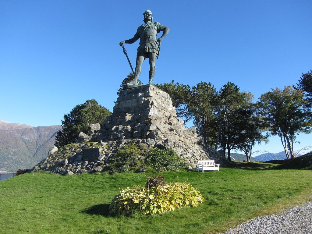
One of the Sagas of Icelanders, family stories collected during the 14th century, tells us of a proud hero, Fridtjof den frøkne, Fridtjof the Bold, who was at home in Sognefjorden near Vangsnes around the 9th century. As the story goes, there were two regional kingdoms, one on the south bank of Sognefjord, the other on the Northern bank. The northern king had two sons and a daughter, the southern king had only one son, Fridtjof, who was madly in love with Ingrid, the princess across the fjord. Both elder kings, who were good buddies, died in battle and the next generation took control. Unfortunately, the two northerly brothers and co-kings were so jealous of handsome and strong Fridtjof that they denied him their sister’s hand and send him on some kind of quest akin to other hero’s challenges, like Hercules/Heracles. As soon as Fridtjof was properly distracted, the kingly duo with low self-esteem married their sister to the elderly King of Ringerike og Sogn, who was however still vigorous enough to father a son with Ingrid. Once Fridtjof returned from his adventures, he paid his respects to the old king who adopted him as his last dying act. In one fell swoop, Fridtjof inherited a kingdom, a pretty widow, and an heir. Lucky guy! The German emperor Wilhelm II, who vacationed repeatedly around Sognefjorden, apparently enjoyed the saga of Fridtjof the Bold, because he commissioned the sculptor Max Unger 1854 – 1918, who specialised in romantic, heroic personages, to create a bronze sculpture of the kingly Norwegian hero. Unger’s bronze was 12 m high and it had to be cut into 15 chunks for transport and it required 100 Imperial German Navy sailors to reassemble on site. The sculpture of King Fridtjof the Bold was installed in 1913 on a 10 m high pedestal. At a total hight of 22.5 m/74 ft, Fridtjof has had the best view over Sognefjorden ever since!
That leaves us we two more pictures tonight,
